Sydney Cove Map

About Sydney Cove Map
Sydney Cove Map: Discovering Sydney’s Historic Heart
Introduction
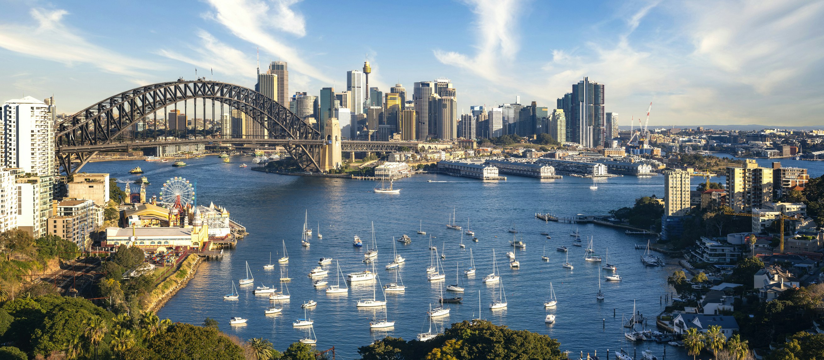
When you walk along the foreshore of Circular Quay in Sydney, you’re standing at the very site where modern Australia began. The Sydney Cove Map is more than just an artwork—it’s a striking pavement installation that captures the earliest European layout of Sydney. Etched into the ground, this giant map recreates the original plan of Sydney Cove as it was first sketched in the late 18th century.
It’s both a work of public art and a historical record, allowing visitors to literally walk across history. Every street and landmark marked on the map reflects the beginnings of Australia’s colonial story. For locals, it’s a reminder of how far the city has come. For visitors, it’s an opportunity to step back into 1788 and imagine the first convict settlement transforming into today’s global harbour city.
Whether you’re a history lover, a curious traveller, or simply wandering around Circular Quay, the Sydney Cove Map is one of those quiet but powerful attractions that helps you connect with Sydney’s origins in an unforgettable way.
What is the Sydney Cove Map famous for?
The Sydney Cove Map is famous for being a large-scale pavement artwork that recreates one of the earliest maps of Sydney, offering a unique way to explore the city’s colonial history.
Why should you visit the Sydney Cove Map?
You should visit the Sydney Cove Map because:
It lets you visualise what Sydney looked like in 1788.
It’s a free, open-air attraction in one of the city’s busiest cultural hubs.
It’s an educational yet interactive experience—great for families, students, and history enthusiasts.
What are the opening hours and best times to visit the Sydney Cove Map?
The Sydney Cove Map is located outdoors and is accessible 24/7. The best time to visit is during the day, when the engravings are easiest to see and photograph.
How much does it cost to visit the Sydney Cove Map?
Visiting the Sydney Cove Map is completely free. It’s part of Sydney’s public art and heritage landscape.
What can you see or do at the Sydney Cove Map?
Walk across the map and trace the outlines of Sydney’s earliest streets.
Take photos of the artwork with Circular Quay as your backdrop.
Reflect on the contrast between 18th-century Sydney and the modern skyscrapers surrounding you.
Combine your visit with other historic sites around the Quay.
What is the history behind the Sydney Cove Map?
The Sydney Cove Map is based on one of the earliest surviving maps of Sydney Cove, drawn in the late 1700s. The original map recorded how the fledgling convict settlement was laid out, with rudimentary streets, huts, and early infrastructure.
The pavement installation at Circular Quay was created as part of a project to highlight Sydney’s colonial history in a public, accessible way. It’s both an artwork and an educational resource, linking locals and visitors to the city’s foundations while also acknowledging the deep Indigenous history of the Gadigal people, the traditional custodians of this land.
Where is the Sydney Cove Map located and how do you get there?
Location: Circular Quay, Sydney NSW 2000.
By train: Alight at Circular Quay Station; the map is just a short walk away.
By ferry: All ferries dock at Circular Quay, placing you right next to the site.
By bus or light rail: Numerous routes stop at Circular Quay, making it very accessible.
Insider Tips for Visiting the Sydney Cove Map
Visit early in the morning for quieter moments and clearer photos.
Pair your visit with a walk along the Heritage Walk around The Rocks.
Look down as much as you look up—this attraction is literally underfoot and easy to miss if you’re rushing.
Nearby Attractions to the Sydney Cove Map
The Rocks: Historic cobblestone streets filled with pubs, shops, and markets.
Museum of Contemporary Art (MCA): Cutting-edge exhibitions overlooking the harbour.
Sydney Opera House: Just a 10-minute stroll along the waterfront.
Customs House: Another heritage site with an impressive scale model of Sydney under glass.
Royal Botanic Gardens: A beautiful green escape with stunning harbour views.
Turn Your Visit Into an Adventure
Exploring the Sydney Cove Map isn’t just about looking at history—it’s about walking through it. With a Questo quest, you can follow interactive clues that uncover Sydney’s colonial beginnings, discover hidden details around Circular Quay, and unlock stories that bring the harbour city’s past to life in a fun and engaging way.